
Shipping commodities up and down America’s inland waterway system got pretty hard to do in 2022, especially along the Mississippi River. Extended drought cut water levels to almost impassable levels and resulted in shipping grinding to a halt in the river. The good news is those levels are finally beginning to rebound.
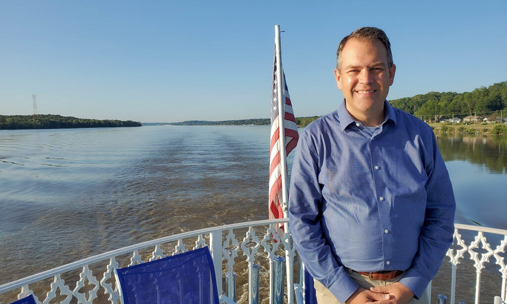
Mike Steenhoek is the executive director of the Soy Transportation Coalition, a group that keeps a sharp eye on shipping and the waterways year-round. They’re happy to see those river levels starting to rise because ships are once again carrying commodities to southern ports in the U.S.
“Meaningful precipitation has occurred over the past several months,” he said from Ankeny, Iowa. “It’s made a significant impact throughout the entire inland waterway system.”
Steenhoek offered up Memphis, Tennessee, as an example, calling it one of the “ground-zero” locations for the low-water conditions last fall. That location is currently 10-10.5 feet of water depth in relation to the gauge.
“Last year at this time, we were at 19 feet,” he recalled. “So, we’re below last year. To give that some perspective, we were just about at a negative 11 feet in late October. We’re easily more than 20 feet better than we were in October, which is a significant increase making shipping easier.”
St. Louis, Missouri, was another example of “ground zero” in the low water level picture. That location is just a bit higher than at the same time in 2022, so the area has seen a nice rebound from the low levels. He says the moral of the story is the waterways have returned to a degree of “normalcy.” But there is a catch.
“It won’t take a lot of sustained dry conditions to tip us right back into lower conditions,” Steenhoek said. “It could critically impact some of those areas like St. Louis to Cairo, Illinois.”
Cairo (pronounced KAY-row) is a significant point in the waterway system. That’s where the Ohio River meets the Mississippi and provides a big influx of water into the system so that St. Louis to Cairo area can be very susceptible to low water conditions.
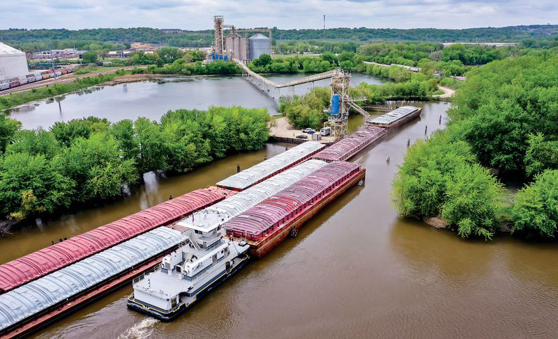
How dry did some of those areas get? The levels sank so low that ships were actually running aground and getting stuck in the Mississippi River. When that happens, one of two things usually occurs.
“Those ships sometimes had to get dug out,” he recalled. “Sometimes, they had to sit there until water levels rose to the point they could move again.
We also had sediment buildup, or ‘shoaling,’ in multiple locations,” Steenhoek said. “That resulted in shipping having to stop or significantly slow down. That meant there was a lot of dredging activity occurring last year and continuing into 2023.”
The timing for ships getting stuck last fall was awful, as that’s a time when a high percentage of U.S. exports occurs between September and February. “That’s when the U.S. soybean spigot is turned on and we supply a lot of soybeans to the world market,” he said. “Bad time for one of the main ways we move product to our ports to go down.”
Steenhoek monitors shipping in the waterways closely and says there is good movement up and down the waterways right now. U.S. export volumes are comparable to even a little higher than where they were last year.
“That’s really good news,” he said. “The reports I’m getting, particularly from the export facilities down in the New Orleans area, say they are back to a healthy degree of normalcy.
“As I mentioned, we’d love to see steady precipitation continue,” Steenhoek added. “We don’t have a lot of excess water in the tank to rely on if things go that dry again.”
